
With almost 2,650,000 residents, Brooklyn is the most populous borough in New York City which — if it seceded — would be the fourth largest city in the United States. First established in the year 1646 when Dutch explorers colonized what is today New York, it was named after the town of Breukelen in the Netherlands; and the name means marshland, which is fitting for much of Brooklyn — especially near its shores.
A Brooklynite Visits Breukelen
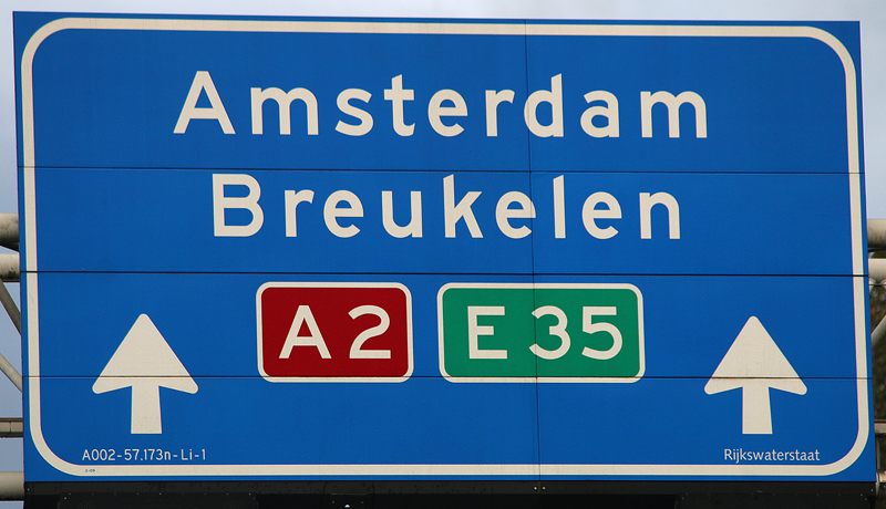
When I was driving south from Amsterdam to Luxembourg on highway A2, I noticed the overhead highway sign and immediately thought to myself, is that not the town which Brooklyn was named after? After doing some cursory research while I was in Luxembourg, I realized that it was indeed the namesake for Brooklyn, where I was born and raised.
During my research, I also found out that an old windmill was in Breukelen — and it was conveniently located right off of the highway — so I decided that on my way back north towards Amsterdam, I will stop off and visit Breukelen.
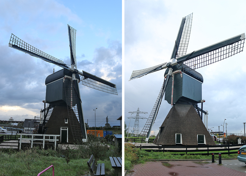
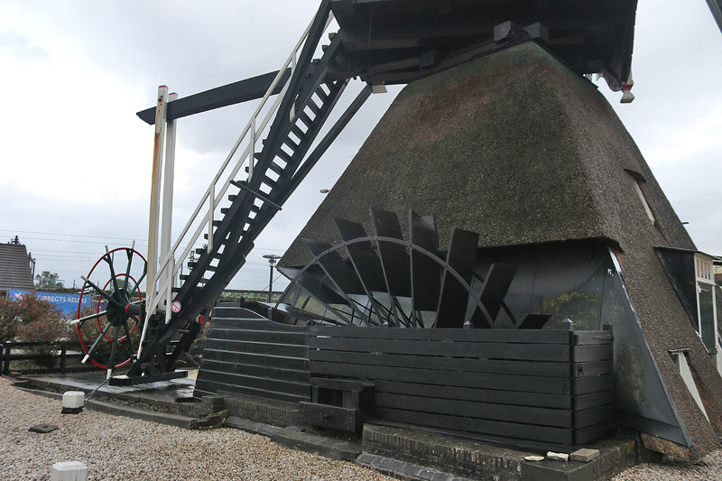
The Kortrijkse Molen — or Kortrijk Windmill — is a hollow post mill which was built in the year 1675.
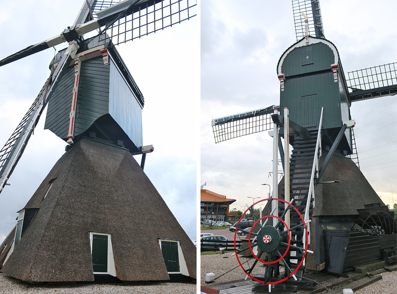
These photographs show the front and rear views of the windmill.
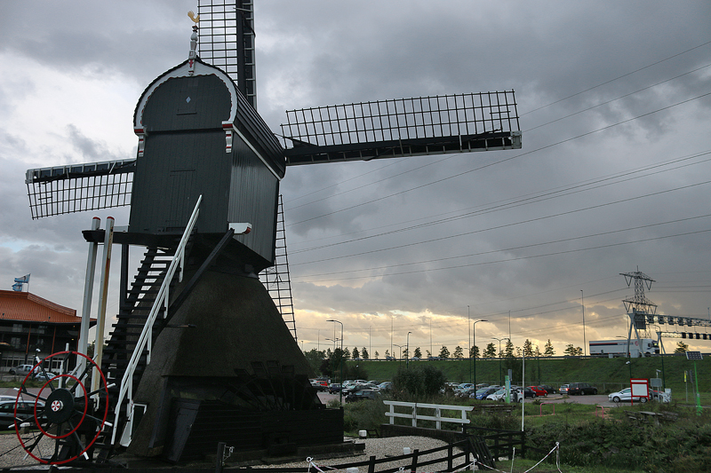
The windmill faces Highway A2, which is seen in the background.
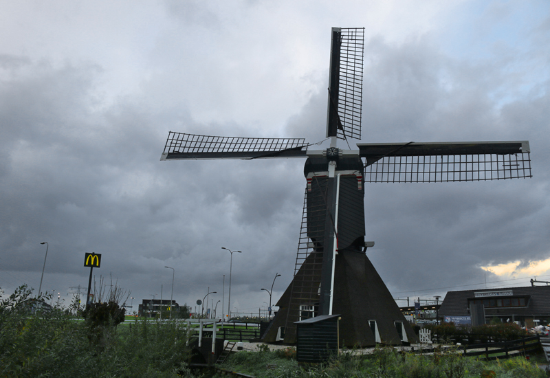
I did not know this when I was there, as it was closed to the public; but one can visit the Kortrijk Windmill at certain times — and I do not believe that any admission is charged. If you are interested, additional information is provided at the conclusion of this article.
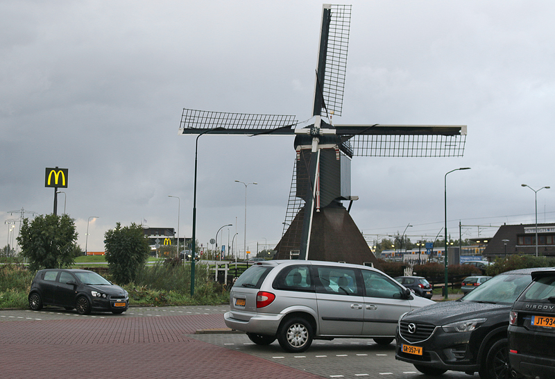
Because of a parking lot which was constructed in recent years — as well as the developed surroundings — the Kortrijkse Molen looks out of place today.
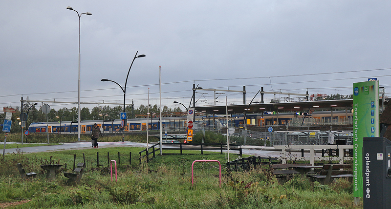
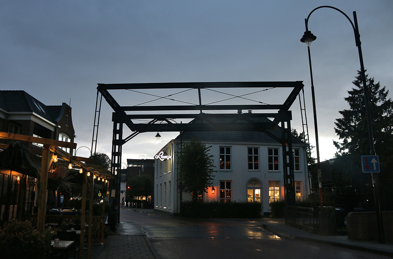
A train station is located nearby.
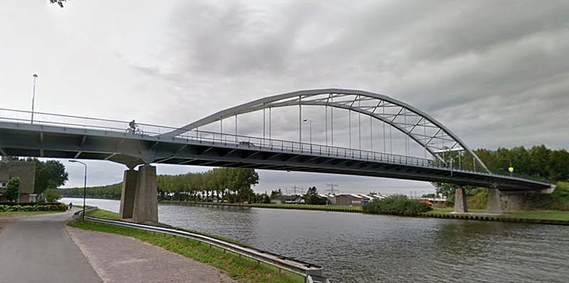
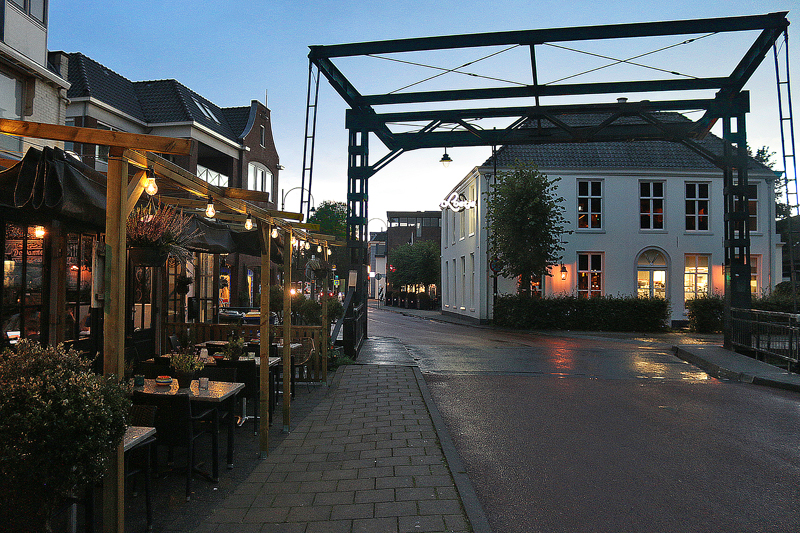
To visit the main part of the town of Breukelen, you must cross this bridge using the road called Brugoprit. I am not sure what is the name of this bridge; but I suppose it is the Breukelen Bridge?
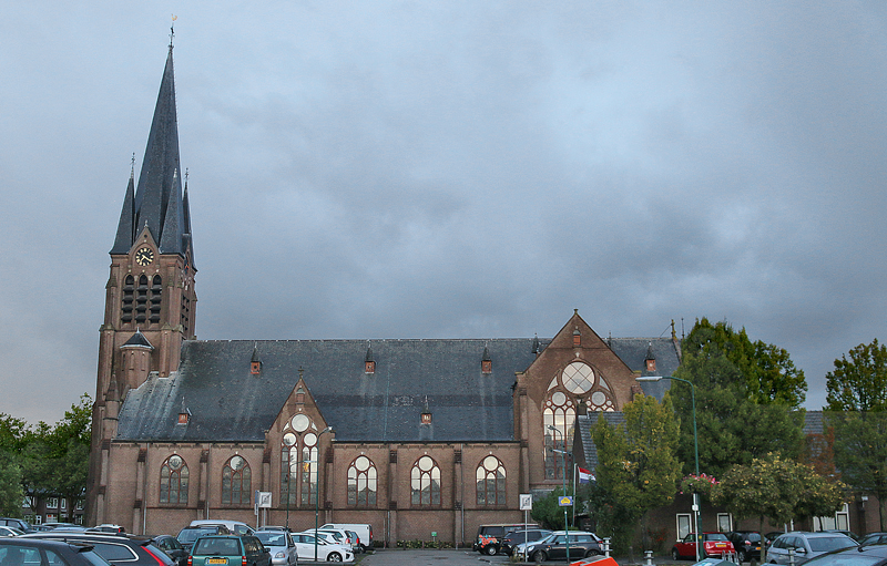
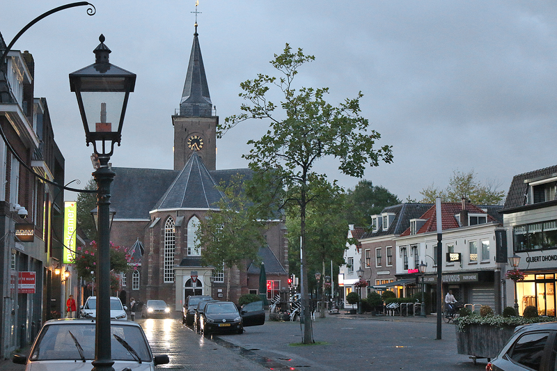
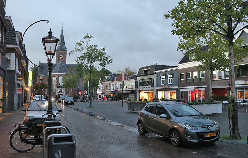
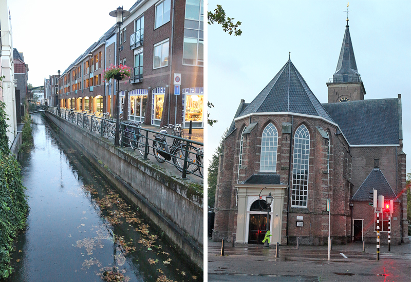
As with the famous borough in New York, this Breukelen also has its share of churches. I parked the rental car in this parking lot and decided to take a walk around.
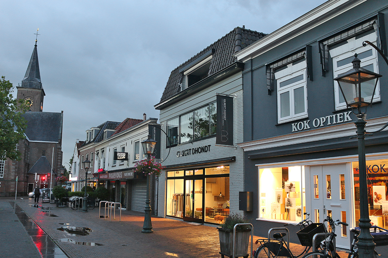
Kerkbrink is the name of this street…
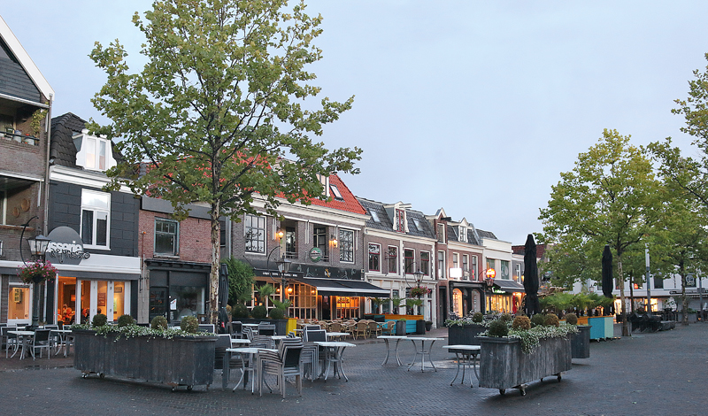
…which seems to be the town square of Breukelen when facing east.
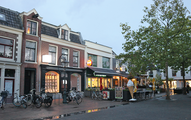
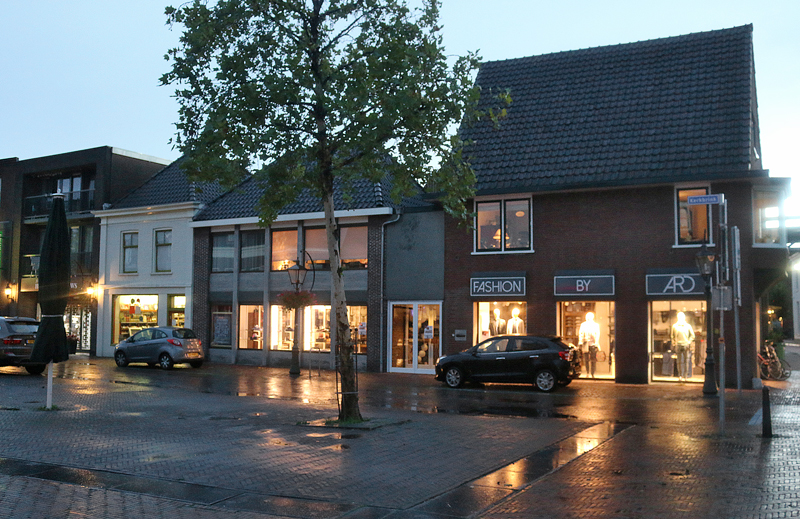
The cobblestone streets are lined with shops, art galleries, and other retailers.
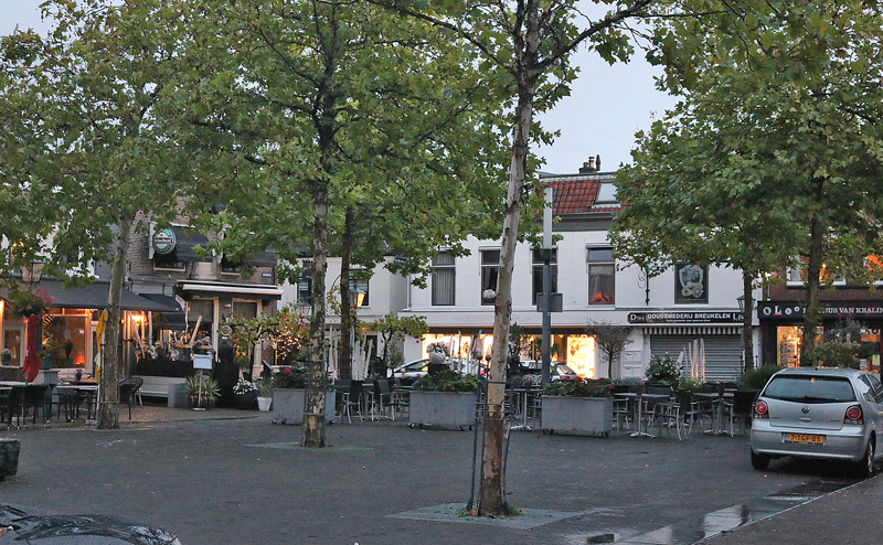
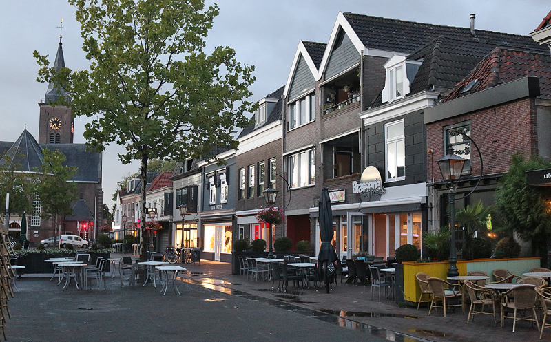
This view is of the eastern end of the square, which is essentially a way for motor vehicles to turn around.
Breukelen is located in the northwest part of the province of Utrecht in the Netherlands, and its population is fewer than 15,000 residents.
According to this article from iAmsterdam pertaining to elegance from the Dutch Golden Age, “One such manor is Castle Nyenrode. The castle’s impressive arch, drawbridge and waterway once protected its owner from unwanted house guests and visitors. These features are still effective to this very day. The castle would be destroyed in 1481 and then again in 1511. Since then its ownership has changed hands many times, and it was partially destroyed by a fire in 1673. After World War II, the castle became a Business University institute in 1946. Consequently, It is not open to the public.”
Breukelen “is a great spot for boat tours, bicycle treks, or just an afternoon of sightseeing. One highlight is Boom en Bosch, a quaint park in which you will find the former city hall building. While there head to the garden facing the river Vecht and admire the gorgeous maple trees.”
During the summer months, seeing a free music performance in Breukelen is not unusual; or perhaps you can sample some delicious Dutch poffertjes — stacks of tiny pancakes with powdered sugar — in the colder parts of the year.
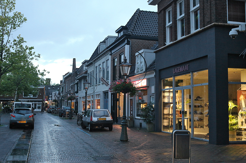
Straatweg is name of the main street through Breukelen. It basically follows the Vecht River, and traffic goes north and south on it. This bridge crosses a small canal…
…and the photograph on the left is a view of the canal facing east from the bridge.
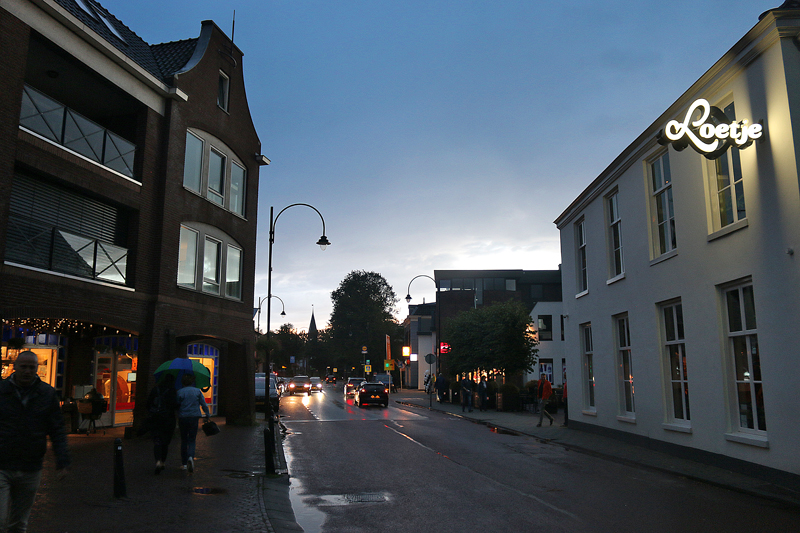
People walk the sidewalks of Straatweg at sunset after a torrential thunderstorm with high winds passed through Breukelen.
Summary
All right — I suppose I am technically a former Brooklynite, as I am based in the greater Atlanta metropolitan area. You can take the boy out of Brooklyn; but you can never take Brooklyn out of the boy.
Breukelen is located approximately 28 kilometers — or almost 17.3 miles — south and slightly east of Amsterdam. It is easily accessible by both motor vehicle and public transportation. You can take a train to the Breukelen railway station; or you have your choice of four bus routes to the town.
Kortrijkse Molen
Stationsweg 105
3621 LK Breukelen
Netherlands
06-12962724
Hours:
- Wednesday afternoons 1:00 – 5:00
- Sundays 11:00 in the morning – 5:00 in the afternoon
- And by appointment
All photographs ©2018 by Brian Cohen.
