
T hanks to the extreme drought caused by a severe lack of rain combined with dry air with low humidity, wildfires are currently burning in the north Georgia mountains — and the winds from the north are blowing the smoke southwards to Atlanta, which has been experiencing hazy and smoky conditions.
Atlanta Smoked by Wildfires
In Atlanta earlier today, the humidity was measured at only 21 percent — and the air is expected to be even drier later in the week when a front moves through.
Wildfires — typically associated with western states such as California — are also currently burning in Alabama, North Carolina and Tennessee. Reduced visibility is a result of the smoke — which could possibly affect some commercial flights — and a public health advisory was issued in Kentucky.
“The Rough Ridge wildfire has engulfed 10,336 acres — nearly 4,000 more than the last update”, according to this article written by Jessica Noll for WXIA-TV 11 Alive News in Atlanta. “Nearly 300 firefighters are working to extinguish the fire where 13 percent has been contained. Nine crews, two helicopters, seven engines and two bulldozers have been implored.”
The dropping of levels below full pool are the lowest in several years at some lakes in the southeastern United States — and because many of the lakes double as reservoirs, water conservation is of the utmost importance.
Summary
If you are traveling to the southeastern United States in the near future, expect possible irregular operations which may be caused by limited visibility due to the smoke emanating from the wildfires — many of them nowhere near being contained or controlled…
…and please do everything you can to conserve on your use of water — such as not having your linens washed every day while staying in a hotel; taking shorter showers; or shutting the faucet while shaving or brushing teeth as three of many examples.
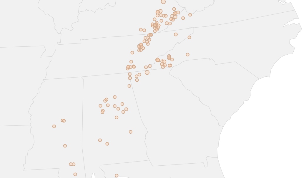
A map of active wildfires in the southeastern United States within the past 30 days is shown at the top of this article. Source: National Wildfire Coordinating Group and Graphiq.
