
W henever I fly as a passenger on a commercial airline during a flight, I usually can recognize where I am when the aircraft is at 30,000 feet in altitude — many times, down to the exact name of the street or highway. That is part of the fun of sitting in a seat by the window. I really enjoy doing that, as I find this exercise far more entertaining than any puzzle — and I do not cheat by viewing the moving map on the in-flight entertainment system, if the aircraft is equipped with one…
…but if you visit BoardingArea, you are more likely a frequent flier than not — so for fun, I decided to take the satellite photographs of five American cities from the air and remove the labels to see how well you know your geography.
Here are the five satellite images, seen as if you were looking out of the window of a commercial airplane during a flight — and no, the top of each image is not necessarily North:
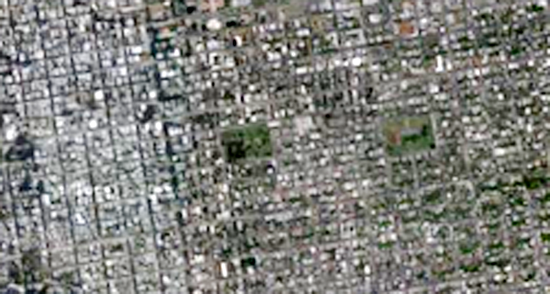
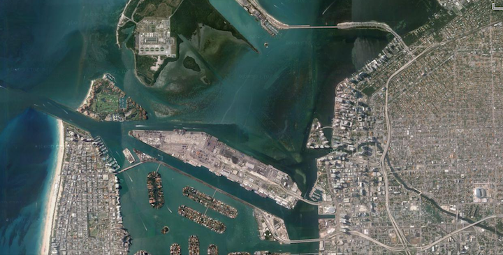
City 1
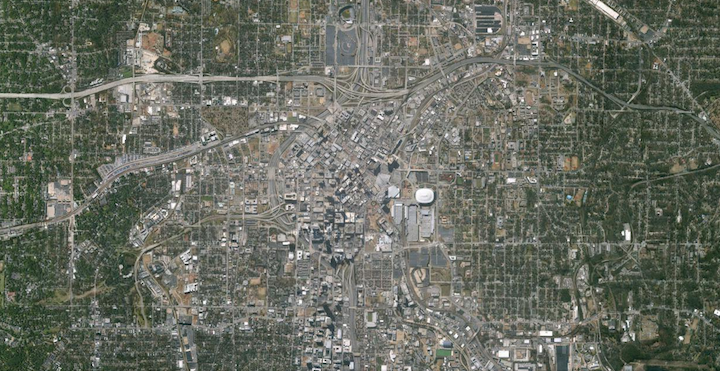
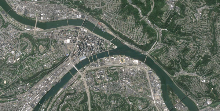
City 2
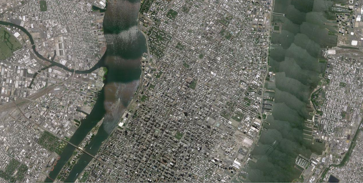
City 3
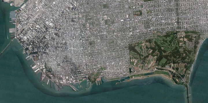
City 4
City 5
Summary
It is always good to know where you are at any given time during a flight — even if it is only for entertainment purposes.
If you enjoyed this little experimental game, I will consider creating more in the future — and they may be more difficult than the one here. Please feel free to post your answers in the Comments section below — and no, I am not giving away the answers here, as the answers will be posted at a later date.

Are you a natural human compass — or hopelessly directionally challenged? Shall I create more of these satellite image games — such as for cities or for airports — which may be more challenging?
Imagery ©2015 TerraMetrics. Map data ©2015 courtesy of Google Maps.
